
"Interesting interpretation for the word 'Highway' you have around here." I said to the diner waitress, a not-unattractive woman about my age who had an unfortunate and uncany resemblance to the main actor from the TV series House."Yep. Around here 'Highway' can mean just about anything including something without pavement." she replied. "And with thousand foot dropoffs." I continued. "Yep." was all she needed to say. A day earlier this would have been key intel.
It was supposed to have been an easy 300 or so mile day down to Salmon, Idaho via the Pintler Veterans Memorial Highway. Why Salmon? No particular reason. Someone once mentioned I should go there and since I'm just meandering, I figured, why not? Who knows, maybe there's something interesting along the way.
I headed out relatively late in the morning. The way the mountains around Glacier just jut up out of the ground instantly still fascinates me. The photos, as is always the case, don't do it justice.
This area of Montana seems pretty populated in comparison to sections of Utah and Nevada. Gas is plentiful and there is a steady reminder of human intervention. Traffic was an issue. It wasn't bad but was noticeable. The roads heading south were nice but not great. Swan Highway meandered it's way along Swan lake, which was beautiful. But at this point, I've seen so much beautiful and impressive and awe inspiring that those pathways in my poor overloaded brain were getting tired.
I don't often get bored. After a couple of hours riding along this fast and gently curving road alongside mountains and occasionally under the cover of trees, I thought "Huh, I see dirt roads with names on them. That one said Something Lake Loop. This one says Something Ridge Road. I wonder where it goes?"
Always dangerous.
I sometimes wonder, does the deer know it needs salt when it goes to lick the rock, or does it just feel like licking the rock? Does a dog know why it wants to chase a stick?
Inevitably, I see some dirt trail and I want to know where it goes. I don't know why. Maybe it fills some unknown need in my soul.
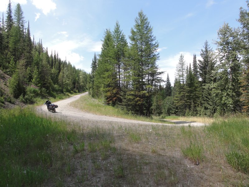
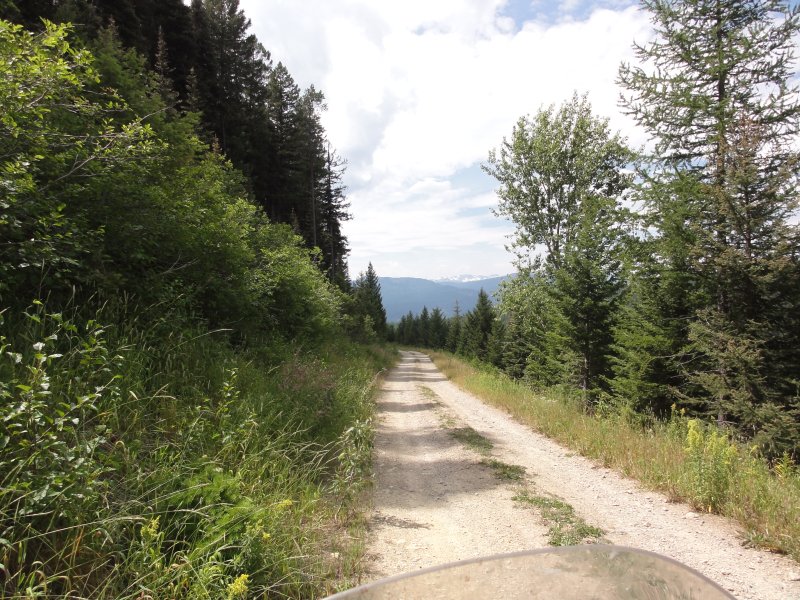
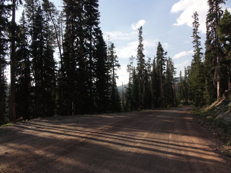
With that I turned onto a road that clearly stated it was "one lane with turnouts". It was somewhere between a dirt road and fire trail. It was hard packed with sharp rocks embedded. The sportier suspension of my Beloved Blue provided me with the expected bumpy ride. My intention had been to only go a little ways but as the road became more challenging and climbed ever higher I kept deciding to press on.
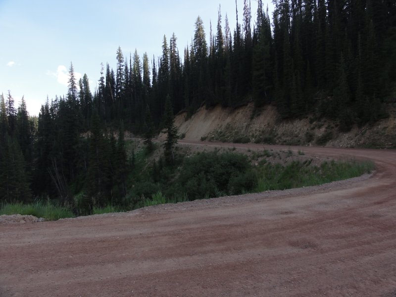
The switchbacks cruelly were rock strewn. I've seen worse but nevertheless it can be disconcerting trying to keep the bike stable while climbing up these things.
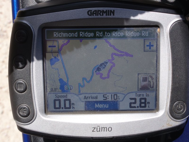
After a ways, I noticed that the GPS was actually trying to route me back down to the road. It turns out this little dirt trail was an official named Montana road. Knowing the GPS is a lying bitch, I quickly realized she was maliciously trying to keep me from seeing interesting things. Belligerently, I disregarded her suggestions and took every turn she told me not to.
With this approach, I found Rice Ridge Road and as it's name implies it's a dirt road carved into the side of a ridge.
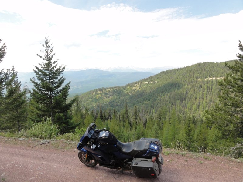
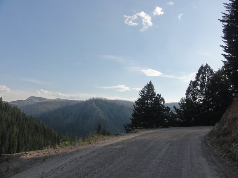
It seemed that at every turn there were incredible vistas. Rationally, these vistas were no greater than others I had seen but somehow being so far away from anyone else, not seeing another soul for miles, made the moments more personal. More mine.
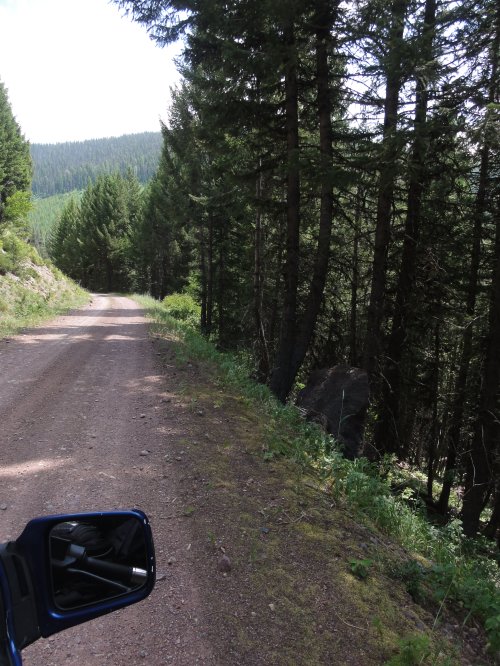
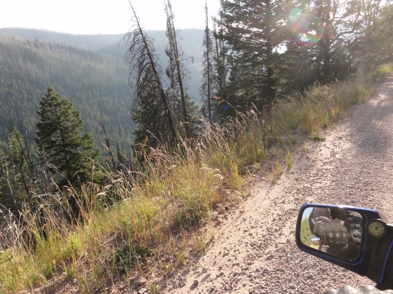
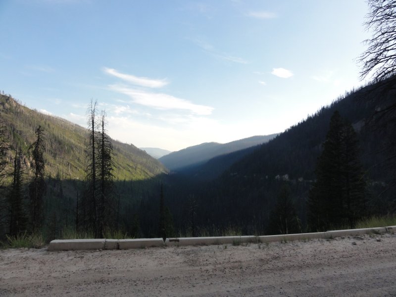
What the photos really don't reveal is how incredibly steep the dropoffs were. The road surface, if you want to call it that, was also slightly biased towards the abyss. So, riding over the uneven surface allowing the machine to do what it's going to, inevitably produced small momentary slides in the direction of oblivion. In years past, this would have actively scared me. Now, it was a completely relaxing, albeit slightly hot and bumpy, ride through the countryside.
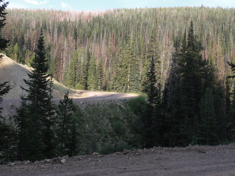
You can see the road cut into the mountain on the other side.
I tried to capture the dropoffs in photos but failed miserably. Even in the photo above, it just looks like it's a slight slope down hill as opposed to the drop off that it actually was.
This place was remote. At this point I was a good 15 miles in. Every time I stopped, I immediately removed my ear plugs and listened. Since I had not seen a single car or other vehicle I started to become concerned about wild life. At one point, I saw a deer running away from me. At another rest break after that, I heard some rustling in the woods not far from me. I'm thankful the horn on my bike is so wickedly loud. Whatever it was left upon hearing it.
"Bears can get aclimated to the sound of vehicles, horns and other noises." I pondered as I considered what I might do if a bear or other large carnivorous critter came my way. I remained hyper alert.
The road continued for over 20 miles. I snapped countless photos trying to capture a sense of this wonder but all my efforts were for naught. It looks like a dirt trail like any other. As has been said before, you just have to see these places, to feel them, to understand. As I bounced along up and down mountains and around switchbacks for these miles, my bike getting truly dirty, I wondered how many people would enjoy moments like this the way I do. Or maybe better said, how many would suffer through the discomfort, take the risk and accept the compromises to have moments like these? While there are others like me out there, some of whom have commented on my facebook posts, I suspect most would sacrifice moments such as these to protect their street oriented machines. The Things being worth more than the Moments. I guess I value Moments more than Things, even my few prized possessions. Things can be repaired, repainted, rebuilt. Moments of wonder are lost forever.
"It's all a compromise." I thought as I continued to ponder the road, the trip, and my bike. For this purpose, riding up these unpaved bouncy, gravelly, sandy, dirty little roads, my bike certainly is not the best choice. It's also not terribly fast. Nor is it terribly light. But it is an excellent machine for the mix of the kind of riding I like to do. I can keep up with many of the sport bike riders through the Gap. I can run with the long haul guys across the open flat. I can enjoy carving canyons. And I can carry enough gear comfortably to go for however long I like. And I can successfully take it on some dirt roads and I've even been known to take it along little dirt trails from time to time.
But it is much like taking your Mercedes 4 door sedan off-roading. I should say your near antique Mercedes. It's not something most people don't do and probably with good reason.
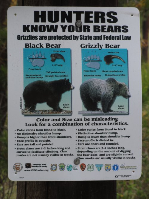
Being somewhat overheated, I eventually made it to the end of the road where the unfortunate pavement began again. There was this sign. I might have considered it a Bad Sign(tm) had I seen it before I ventured up the mountain.
I've seen plenty of bears. Only one has ever taken an interest in me and that was on a road side thus I had an easy escape. I've read that when faced with one one is to talk sternly at it, back away slowly and show no fear. If the beast wasn't afraid of the sound of the motor or the horn, on these rocky roads, I don't think I could ride faster than a bear could run. The thing about the bear is that they have a top speed around 35mph. What they don't tell you, however, is the bear can reach that speed in two bounds. It's a truly impressive sight to see one of these monsters reach full clip from a standing stop. Then there's the whole thing with Mountain Lions. I've talked to a guy who had one jump onto his convertible bronco. He was able to put the vehicle in reverse to knock the thing off. Imagine a mountain lion jumping to take a rider out. I guess it's possible. "I wonder where mountain lions range." I thought.
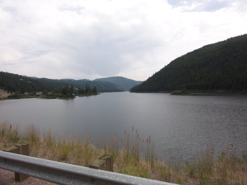
I turned back onto pavement leaving a cloud of dust behind me and contined on the road next to the lake for some time. Or maybe it was another road and another lake. It all begins to look the same after a while.
I was hurting for Starbucks so I turned onto I90 and headed to Missoula. There I sat for an extended break. I looked at the map and, despite being a bit tired, decided it was too early to stop. Looking at the map there was a place called Phillipsburg that had some hotels. There was a connecting road just after Phillipsburg over to Hamilton, MT which was just 90 miles North of Salmon.
The road down to Phillipsburg, called the Pintler Veterans Memorail Scenic Highway, had been recommended by someone on the BMW MOA group on Facebook. Being in the area, I thought I'd take a look. The plannng map with all it's recommendations has been invaluable.
It turned out to be a nice road that followed a windy blue valley stream for some miles. I wouldn't call it an incredible road, just nice. It's not a destination road but if you happen to be going to places beyond one end or another it's certainly much better than interstate.
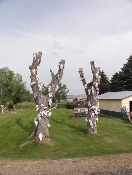
Along the way there were signs; ominous signs that reminded me of a scene in the movie Excalibur.
I should have taken a photo of a similar tree next to these covered in painted cutouts of childrens comic book characters. It was a powerful juxtaposition.
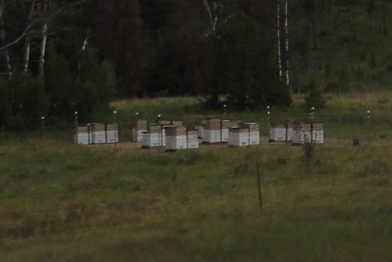
I rolled on further and saw these which I assume must be bees ?
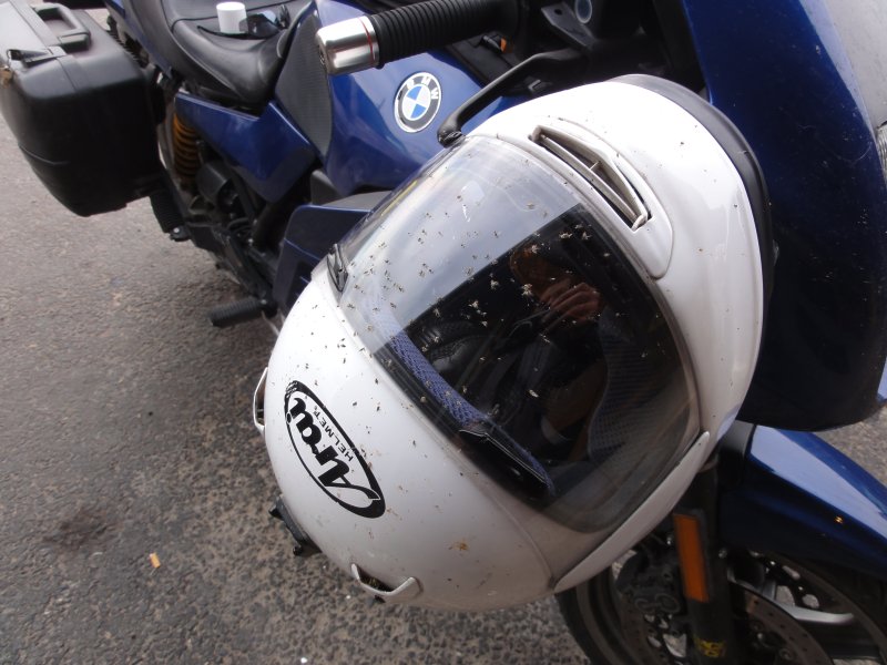
I made it to Phillipsburg in less time than I had expected. There were a few bugs along the way. Not sure whether or not the road I had been travelling was the recommended Scenic Byway I asked. The woman in the gas station said she had been told it had been named such a few years earlier.
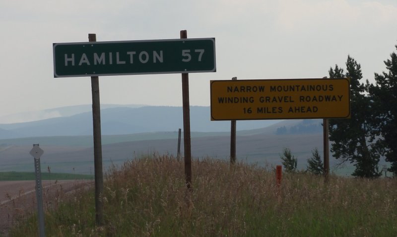
I decided to push on. There were more motels and services in Hamilton. It looked, based on the map, that Highway 38 would be a nice twisty ride over the mountains.
"Highway" is a word of flexible meaning in Montana.
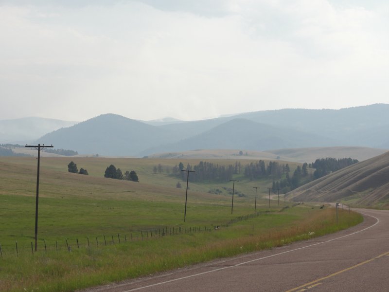
I rode on for a while when I noticed something disturbing on the horizon, the distinct grey plumes marking a forest fire. The photo doesn't capture it.
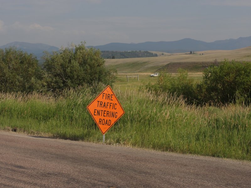
The road I was following headed directly for the fire. I saw a sign in the distance which I was expecting to say the road was closed.
I've never seen this before.
Helibase? I had seen a helicopter flying overhead and thought, "I haven't seen any aircraft in quite some time." Over the DC area aircraft are constant, but Out Here you rarely seen them.
I came upon the firefighter camp. I was surprised to see that most are housed in tents. I guess it makes sense but I had always thought that those risking their lives to fight some forest fire would have mobile housing and not just tents pitched on the road side.
I was glad to have seen this.
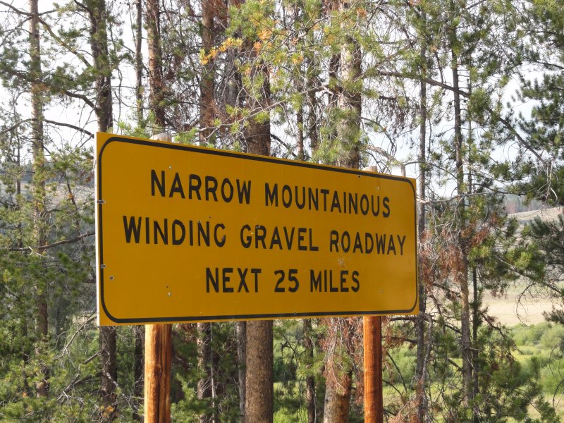
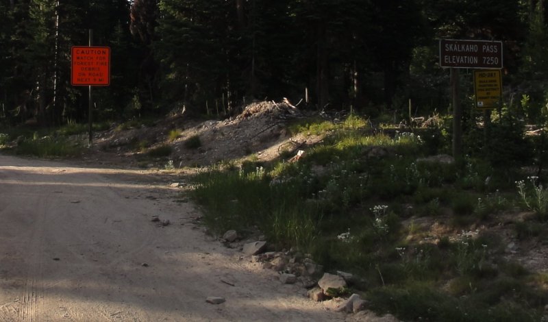
After a while I came upon this sign. It was not, in fact, kidding.
Highway 38.
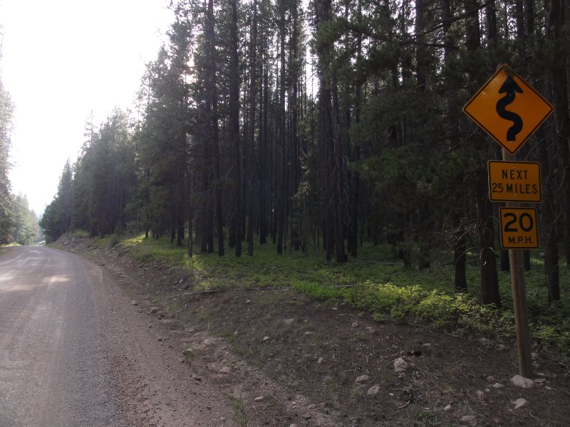
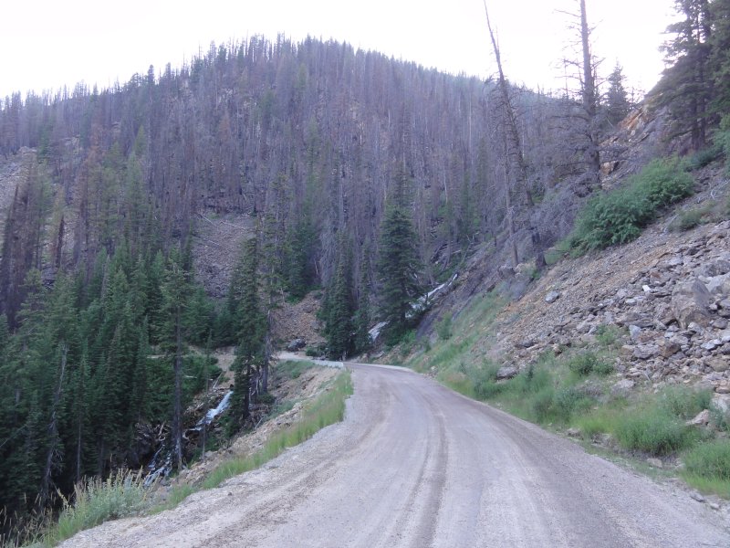
At first I thought I was spared. I had already done 20+ miles of gravel/dirt roads. The road was paved and it was reasonable, then the pavement ended and I came upon foreshadowing.
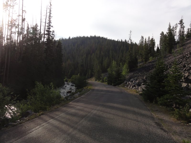
It turned to a mix of gravel and dirt. At some points you could see a babbling brook on the left and a fresh field of tumbled bolders on the right. You had the feeling that you were witnessing the decay of a mountain, much like Obelix once said he had never seen a tree grow.
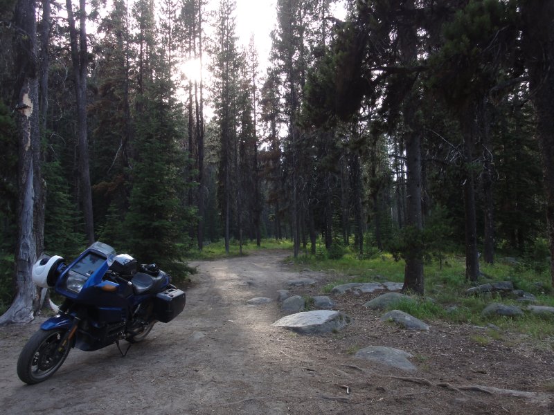
After quite some time on this winding gravel road I began to wonder if there was anything to see along it's sides. A dirt trail headed off towards the stream this road had followed. I decided it was time to take a break and take a look.
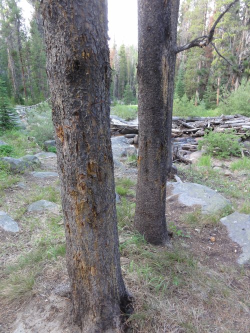
What I found was a bend in the stream over some rocks. The sun shone through the trees lighting the area up like some elven enclave. It was enchanting. However, there were what I perceived to be disturbing signs. All the trees here were wounded. Scratch marks could be clearly seen. Bear? I don't know what marks bears leave on trees.
The photo dilutes the sunshine and the green of this place. Please accept that this photo is a pale and inadequate representation of the sylvan beauty of this place.
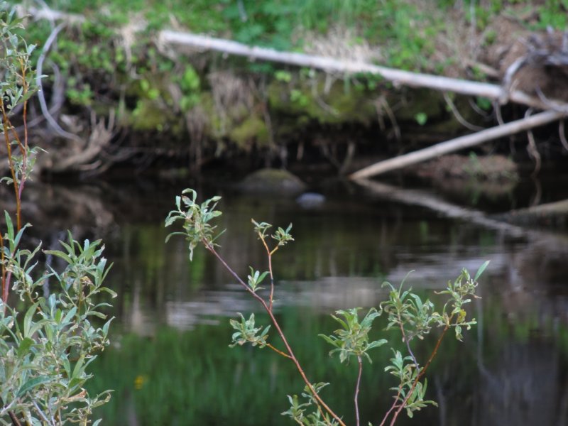
A beautiful babbling stream ran through it filled with fish. I tried to photograph the fish, and owing to my exceptional photography skills I managed to take a fantastic photo of a plant instead.
I did a tricky u-turn around the long since dead campfire and continued to follow the "highway".
Then things got interesting.
The road opened up to incredibly steep inclines over deep valleys. The sun started setting on the horizon as I began to realize the slow dirt was taking much longer to traverse than expected.
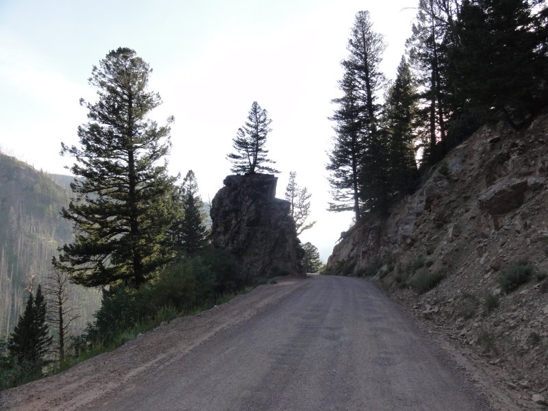
No guard rails. This "highway" started winding it's way along the sides of mountians. The dropoffs were steep and uninviting.
It behooves one to not ride too fast around the gravel strewn corners.
At points the 20mph turns exposed vistas that seemed more incredible for the effort it took to see them. I kept my speeds reasonable at well under 30mph and often not much over 20. I had no desire to go skidding off the edge of the abyss.
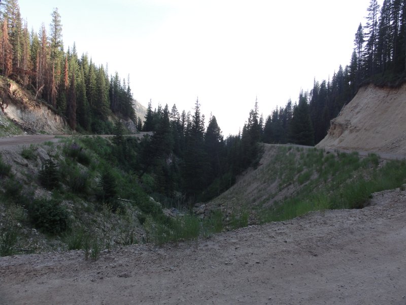
Once again I tried to capture, in photos. just how threatening these dropoffs appeared. Again, I failed. I did pause to consider what might happen if my foot sliped as I came to a stop to take these photos. I was extra cautious.
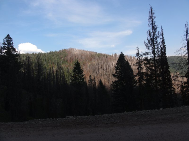
One thing that I have seen across Montana and other part is these devastating tree die-offs. Ghostly white tree skeletons cover the landscape like a scar that's failed to heal. Unlike other areas, where the ravages of forest fires are clear to see, the cause of this white death is not readily apparent. It's everywhere. If it continues I fear the west will no longer have a problem with forest fires as there will be no forests left to burn.
It feels as if the very planet itself is stricken with some disease.
The "highway" continued for many miles as the sun set. From time to time interesting formations were to be seen.
The switchbacks continued. The bouncing, the gravel, the dust and the sand continued.
At points you could see for miles, thanks to precipitous drops that were there to greet you should you lose a moments concentration.
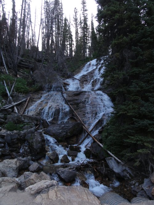
At one point I came upon a more impressive recent waterfall.
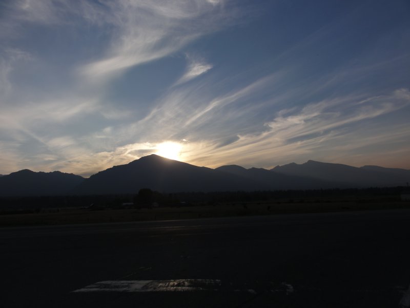
I rode along more switchbacks and down streep rocky bouny grades for some time as the sun set. Then pavement began again and eventually it widened out to what we in the East would say might be a highway. Before long I was at the Hwy 93 intersection confronted by the sun sinking behind the mountains lighting up the smoke laden air producing a beautiful sunset.
I stayed in Hamilton, MT. I didn't sleep much at all and as a result got up very late. I decided to make it an easy day and did just 100 miles down to Salmon, Idaho. Three years ago I met a woman during a much bigger trip who had lived here for some years. She strongly suggested that I should go and I agreed. Cirumstances prevented me but as is usually the case with me, I do everything I say I will, just not in the timespan that I hope.
Salmon has been interesting. On the surface it seems like any other town, but there's an interesting character here. People are not what I expect. The clerk at the hotel I checked into offered me a donut. "I'm sorry, the sugar will kill me." reply I made spawned a 30+ minute conversation. It turns out she has the same disease I do, suffers all the same symptoms and has come to the exact same conclusions and has experienced the same results.
Very strange.
I met a couple of Harley riders slowly making their way to Sturgis. "I've been told not to show my face there 'cause they don't like my kind over there." I said. "20 years ago that might have been the case." the Harley rider said, "It's a lot friendlier now. You should go." He proceeded to talk to me for nearly an hour about possible routes and things to see. It turns out some of the roads the BMW MOA guys have suggested are nicer than I initially thought. We'll see.
Tonight I had a fantastic dinner at a "Fine Dining Biker Friendly Steakhouse Sports Bar" called the Shady Nook. The bartender, a woman who has been coming here for decades but stems from California, was simply wonderful. Another kind, warm and friendly soul the kind of which seems so prevalent out here. I told her my name once and she remembered it using it for the remainder of hte evening. She told me hers once and I failed to remember it as soon as she said it. Names are a failing of mine and I felt the lesser because of it. Upon leaving she said, "I hope to see you in here again." I replied, "It's unlikely as I'm over 2000 miles from home." I hate that feeling of meeting an interesting soul and knowing that I'm not likely to see them again.
Shady Nook. Serious recommendation. Interestingly the style of cooking they do reminds me strongly of the woman who recommended this town to me.
It makes me think of influences and how we are formed by the souls we meet and the places we let get inside.





You must be a member of this group to post comments.
Please see the top of the page to join.