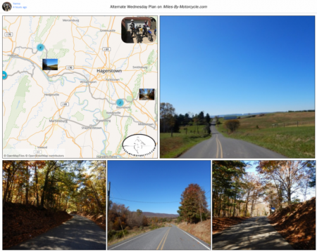
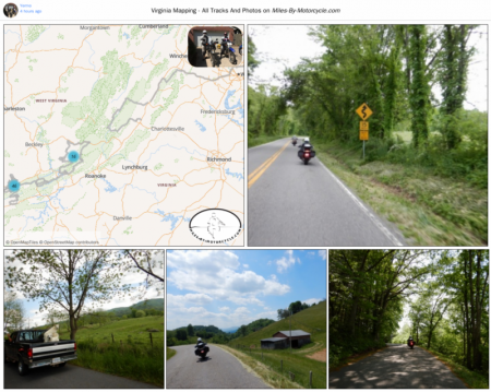
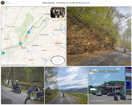
I keep thinking I'll use the on road photos as a way of remembering what each road was like but it doesn't work out that way, so I tend to upload too many photos.
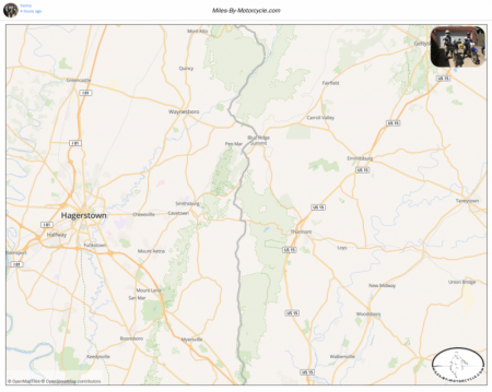
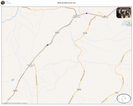
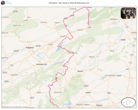
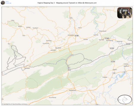
Not sure if there is an issue with the GPX or the GPX parser. The first large section of this track is missing.
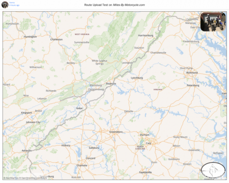
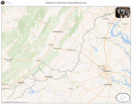
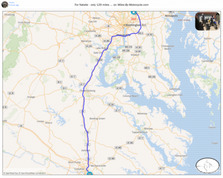
My thought is to take my time and keep the superslab to a minimum.
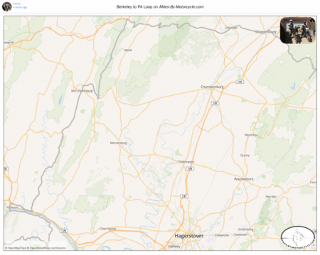
This is a quick plan I've put together for a decent ride up to the Eastern Grand Canyon. It's 334 miles. I modified the route a bit from what I rode to avoid urban centers. The yellow sections are the best sections. I really like Gambrills Park Road, the first yellow section. There's a neat overlook where you can see all of Frederick which I've marked. The second yellow section is the Catoctin State Park Forest Loop which is just gorgeous. Another favorite road of mine is PA 233 out of Mont Alto. It's long tree covered and pleasantly twisty. There are dozens possibly hundreds of miles of nice gravel and forest roads off 233. It's the area we were talking about doing an ADV trip. For our PA street trip, we stayed in Carlisle but it's serious traffic so I tried to find a smaller route around Carlisle to get you over to Route 74. I haven't ridden those roads. Once on 74, you'll find it's a nice mountain climb. From there the connector over to Route 235 I haven't ridden but I'm trying to avoid Harrisburg which we went through. From there the route follows everything we rode all the way up to the Eastern Grand Canyon park at the top. 235 is fantastic. 44 and 414 are fantastic. They carve their way along a stream on the edge of cliffs.