Sailing Adventure Aboard AraVilla (No Motorcycles Involved)
'Wednesday November 3rd, 2021 7:30'
This adventure is over.
You are not logged in.
Yermo
4 years ago
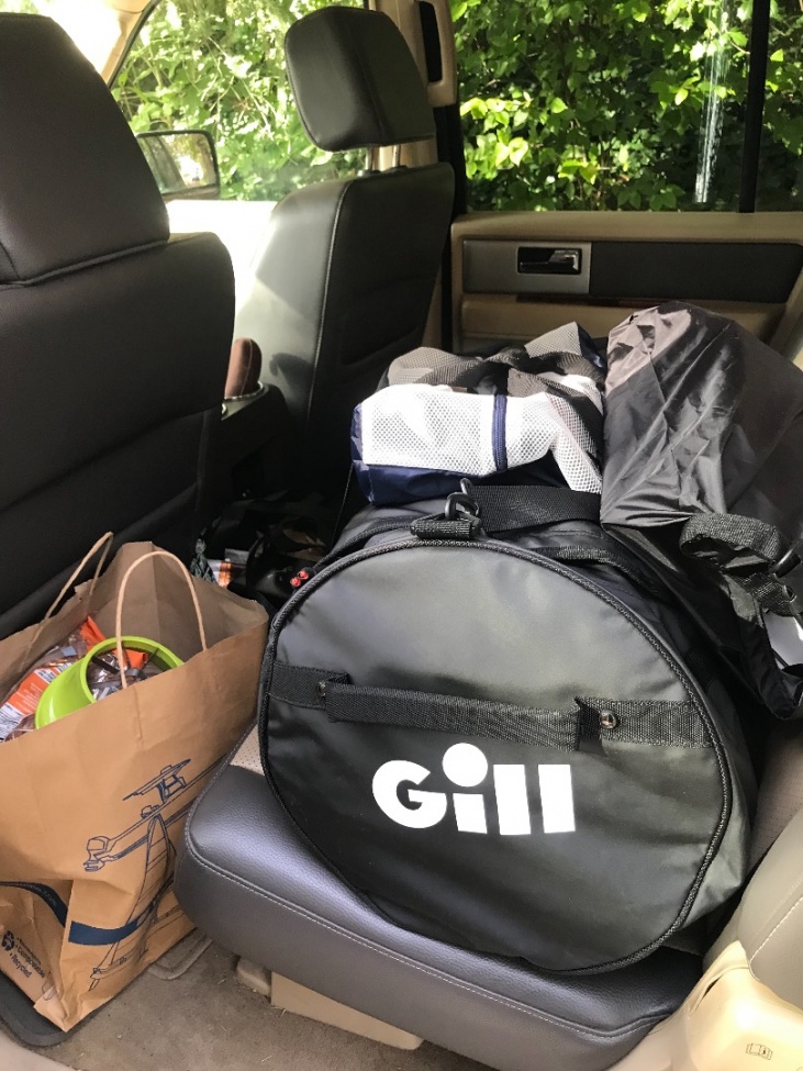
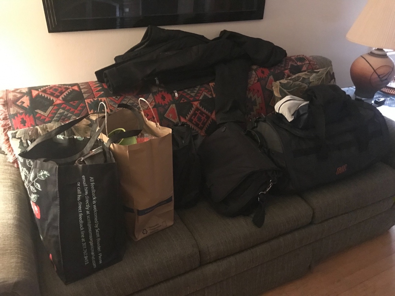
Out on a provisioning run. Thankfully, it does not look like I’ll starve.
The weather forecast has changed again so now it looks like we may head out into deep watet. ?
The weather forecast has changed again so now it looks like we may head out into deep watet. ?
Yermo
4 years ago
Many years ago, actually a few decades ago, I took the first of the American Sailing Association courses.
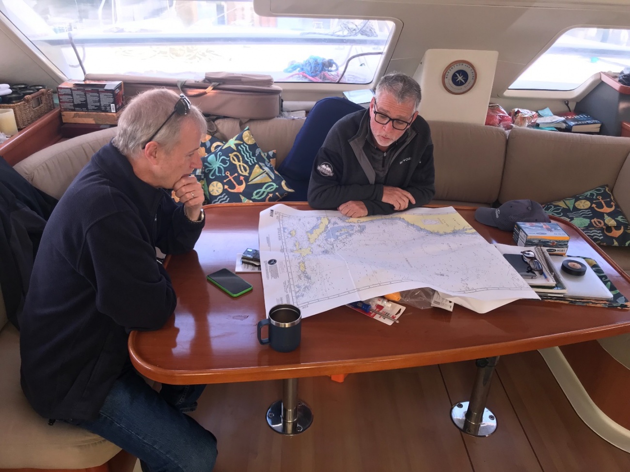
It looks like there is a major low pressure system heading our way so our actual departure date may be delayed but I think I'll head up to the boat regardless tomorrow. I'm hoping that maybe, if we're stuck in Baltimore for a few days, we can take the boat out on the bay and practice a bit so I can re-familiarize myself with sailing and get a sense of how the boat behaves.
It looks like there is a major low pressure system heading our way so our actual departure date may be delayed but I think I'll head up to the boat regardless tomorrow. I'm hoping that maybe, if we're stuck in Baltimore for a few days, we can take the boat out on the bay and practice a bit so I can re-familiarize myself with sailing and get a sense of how the boat behaves.
Beginners Guide to Sailing - An Introduction
This is a basic beginners guide to how boats sail, parts of a boat, points of sail and a triangular course.
Yermo
4 years ago
I am close to ready, I think. I keep thinking there are things I am forgetting.
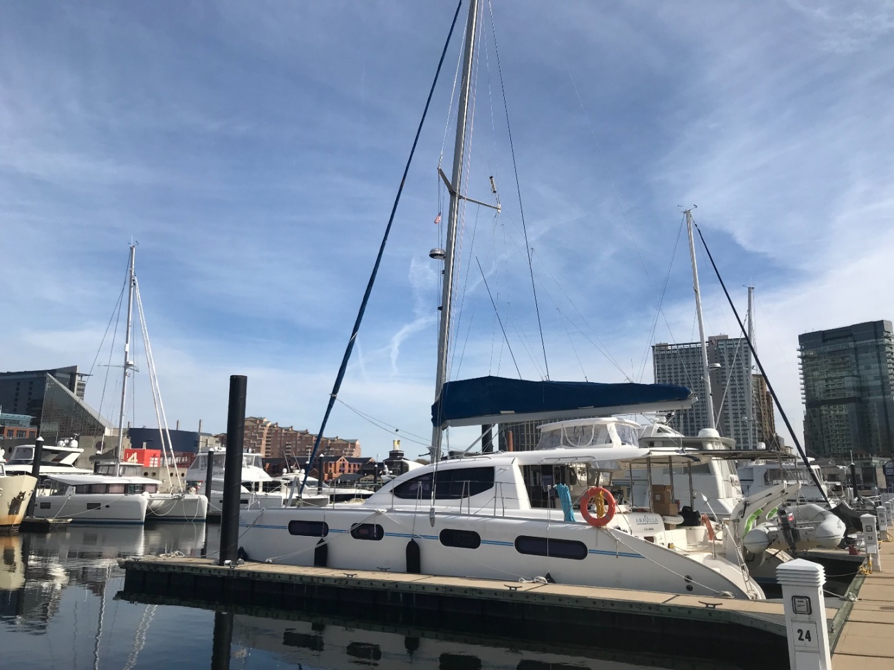
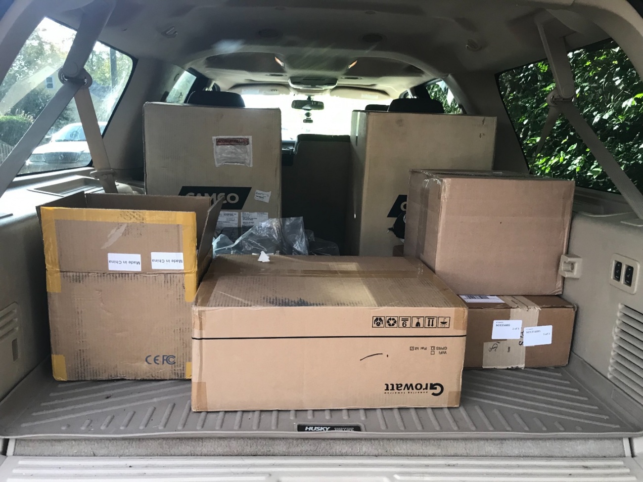
The boat has arrived in Baltimore and they are currently docked waiting for me to arrive with all the equipment and parts that have been delivered to my house.
I hope to have some time to write a proper blog post before Thursday morning when we leave.
It is going to be cold.
The boat has arrived in Baltimore and they are currently docked waiting for me to arrive with all the equipment and parts that have been delivered to my house.
I hope to have some time to write a proper blog post before Thursday morning when we leave.
It is going to be cold.
Yermo
4 years ago
It's been a day of of preparation.
I decided to go with MedJet Assist for evacuation insurance. I paid extra for the enhanced services. It's probably overkill but I figure if I happen to need it and didn't pay for it, I would regret it.
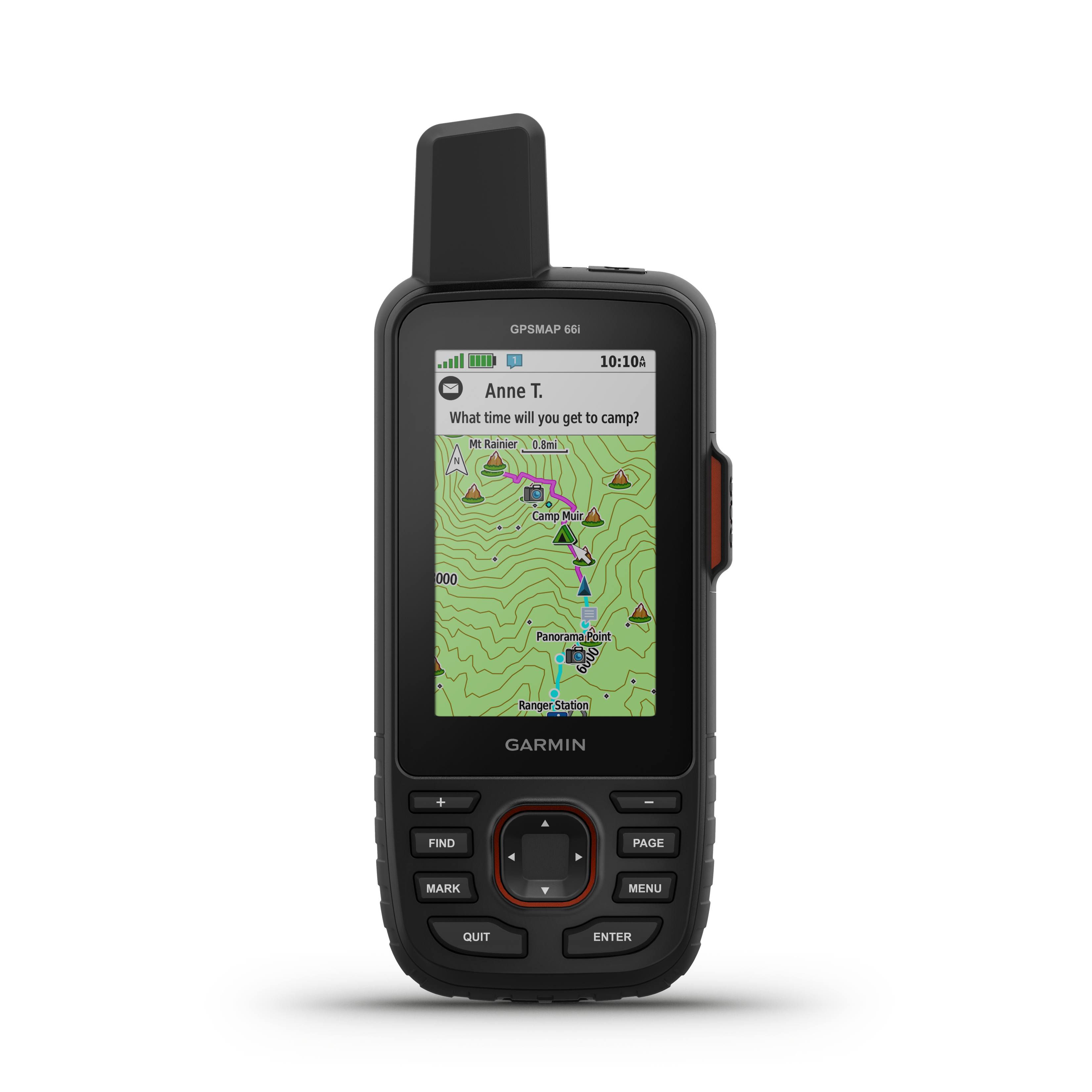
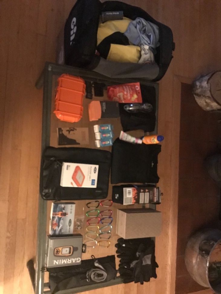
I was disheartened to learn that the Garmin InReach isn't really waterproof. Even their "marine" version isn't. It's really only water resistant so if I go into the drink the thing is probably toast. That has me a bit bummed.
It took quite a very long time to set up. The Garmin inreach site has a bunch of bugs that preventing me from logging in. I was, however, after an hour or so able to work around it. Then once I had an account set up and the device configured it wouldn't send messages or establish a GPS lock. That took some additional time to track down. It wasn't immediately obvious but the device needed to have its firmware upgraded and it needed to be re-sync'd with my account.
I did manage to send a message to Duncan through it so I have verified it works. The online maps are not intuitive but I'll go on a little ride tomorrow and see if I can share the map as a test.
As an aside, the chartplotter on the boat can export GPX tracks so I should be able to update the trip map here with our progress. The InReach also has some GPX export capability I will experiment with.
I bought some spare Go-Pro batteries and a charger but the charger is really cheaply made.
The MOB1 AIS Personal Locator Beacon that I got is pretty serious. I was glad to see that it had a strobe light included. It's designed to attach to an auto-inflating life-vest and send out a beacon to any AIS capable vessels nearby. It's really intended to alert your shipmates to the fact you've gone overboard. Apparently the range is not very far. My thought had been since there'll be multiple of us on the boat it would make more sense to alert the the boat than some far away organization that might take a day to get to me. I'm not sure if this was the right choice.
The MOB1 can also send what I think is called a DSC(sp) message to any capable radios to sound an alarm, but that requires some programming which I won't be able to do until I'm on the boat.
Installing it into a vest looks like it's a moderately tricky and delicate operation so that'll take some fiddling.
Given that the Garmin is not waterproof I regret not taking the extra time to research PLBs. The only ones I've seen that do both EPIRB and AIS are the wall mount ones that you have on the boat.
I bought some books that I've started reading.
A big shipment of batteries for the boat arrived today. It was quite a struggle to get them into the garage out of the rain. 230lbs!
Other than that I've been diligently working on trying to replicate all of my work on the MacBook so I can at least make some progress while away.
I hope to find some time to write a proper blog post about all this prep work I've been doing.
