
You must be logged in and belong to this group to post urls.

You're Missing the Point of Promises GitHub
You're Missing the Point of Promises. GitHub Gist: instantly share code, notes, and snippets.
https://gist.github.com/domenic/388...

How to make PWAs with Ionic | The Official Ionic Blog
Progressive Web Apps are fast becoming a major deployment target. Recent releases like the the Starbucks PWA provide validation that progressive web apps have arrived. Because Ionic is built on the web, Ionic apps can work anywhere the web runs, including as a PWA. In today's post, we will go over exactly what a PWA
https://blog.ionicframework.com/how...


Mortar: Combine sets of vector tiles
Combine sets of vector tiles correctly by merging the vector data in overlapping tiles. Sadly it is server side only.
https://github.com/trailbehind/Mort...
GitHub - makinacorpus/landez: Landez operates with tiles, arranges them together into images or builds MBTiles files
Landez operates with tiles, arranges them together into images or builds MBTiles files
https://github.com/makinacorpus/lan...

GitHub - linz/mbtileutls: Tools for modifying MBTile (https://www.mapbox.com/developers/mbtiles) files
Tools for modifying MBTile (https://www.mapbox.com/developers/mbtiles) files
https://github.com/linz/mbtileutls

GitHub - mapbox/mbutil: Importer and Exporter of MBTiles
Importer and Exporter of MBTiles
https://github.com/mapbox/mbutil
Merging multiple MBTiles together | J r me Gagnon-Voyer
I've started to use TileStream as a node.js server to serve pre-rendered tiles saved in a .mbtiles file. This server can then be used as a tile layer by Leaflet to build a frontend HTML page that will show a map. As I said in a previous blog post, MBTiles is a format created by mapbox that allows
https://jeromegagnonvoyer.wordpress...

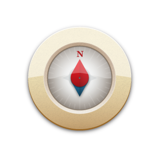
GitHub - richtr/Marine-Compass: A 3-dimensional floating compass for the web
A 3-dimensional floating compass for the web
https://github.com/richtr/Marine-Co...

HTML 5 Canvas: An animated compass Geek's Retreat
My previous posts on HTML5's canvas implementation have simply drawn a static image; be it a thermometer, speedometer or a map. This post blends together the various methods covered in the aforementioned posts to draw an animated compass. This is achieved by adding two elements to the canvas. These are the background image (a compass
https://geeksretreat.wordpress.com/...

Move symbol with the keyboard
Control a symbol with keybindings and rotate it