You are not logged in.
Yermo
4 years ago
Something happened with the camera. It did not geotag any photos. I'm not sure what's up and beyond that, whatever error caused that is now confusing my photo upload code. I'll have to mess with it tomorrow.
Why do I always run into problems like this right before I'm about to go on a trip? It's confounding.
Why do I always run into problems like this right before I'm about to go on a trip? It's confounding.
Yermo
4 years ago
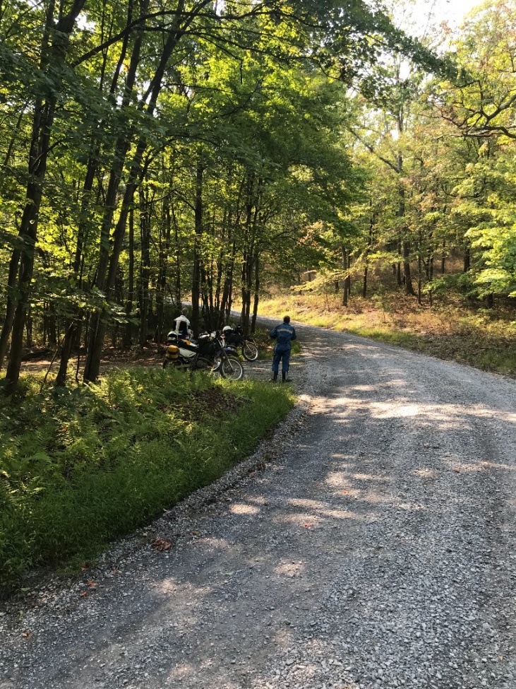
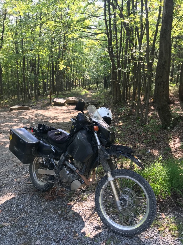
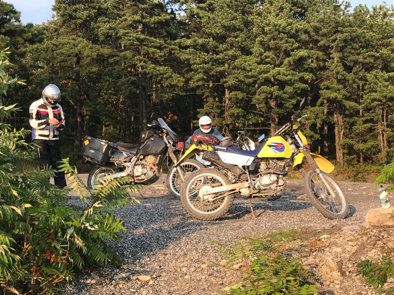
Ridge Road on the northern end became much rockier and rutted than anything we encountered anywhere else. It was like riding a jack hammer. Unfortunately, the rattling overpowered the GPS mount and it went flying. On urging from  ryan647 and
  buffalo, we turned around and looked for it. I was convinced we wouldn't find it but after a couple of miles I did actually find the thing lying on top of the muck apparently undamaged.
This meant however that we didn't get an accurate mileage count since I didn't trust the mount over this terrain.
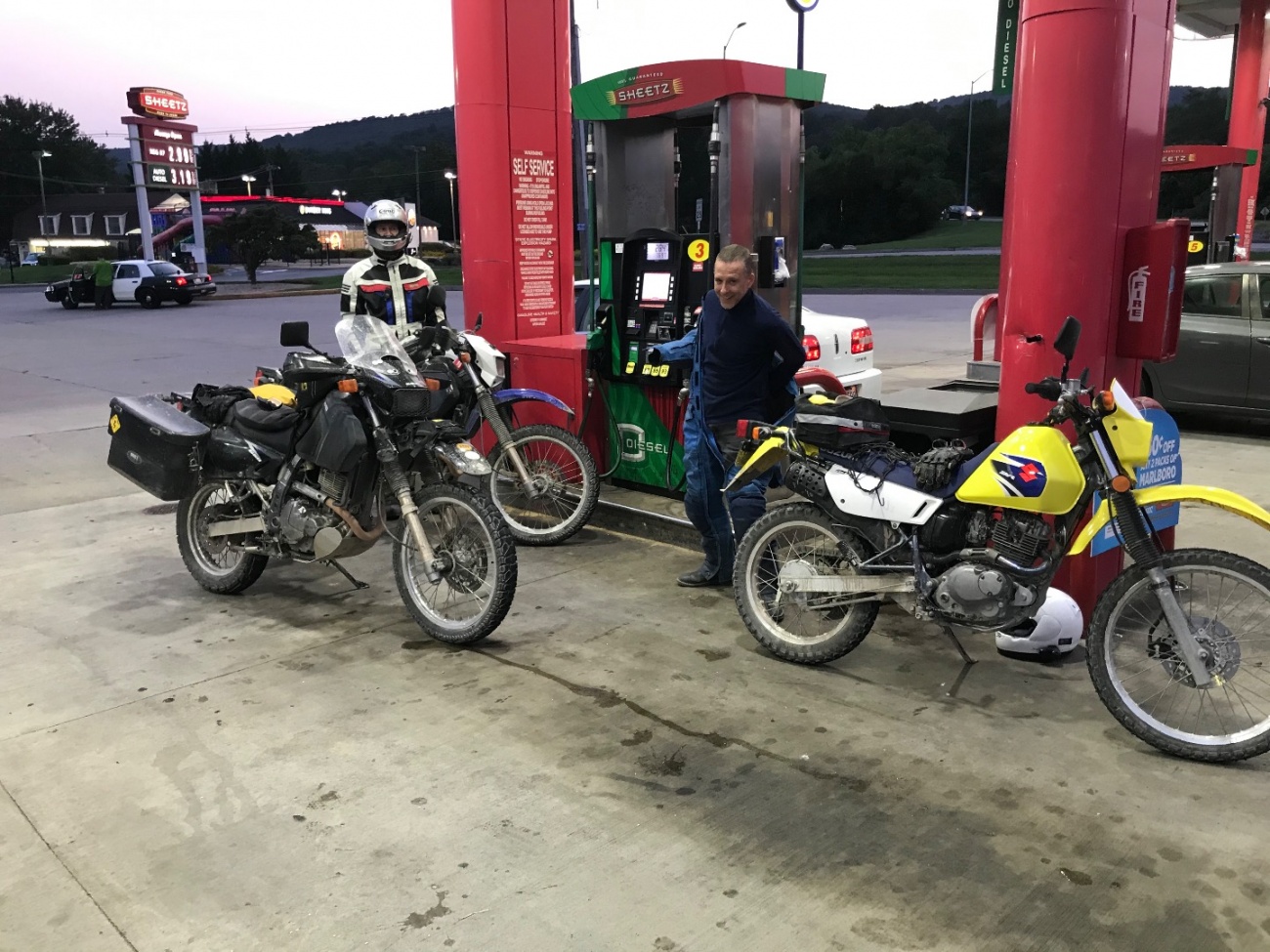
Using the trip meter from the gas station and noting mileages when we filled up and once I got home it looks like we did:
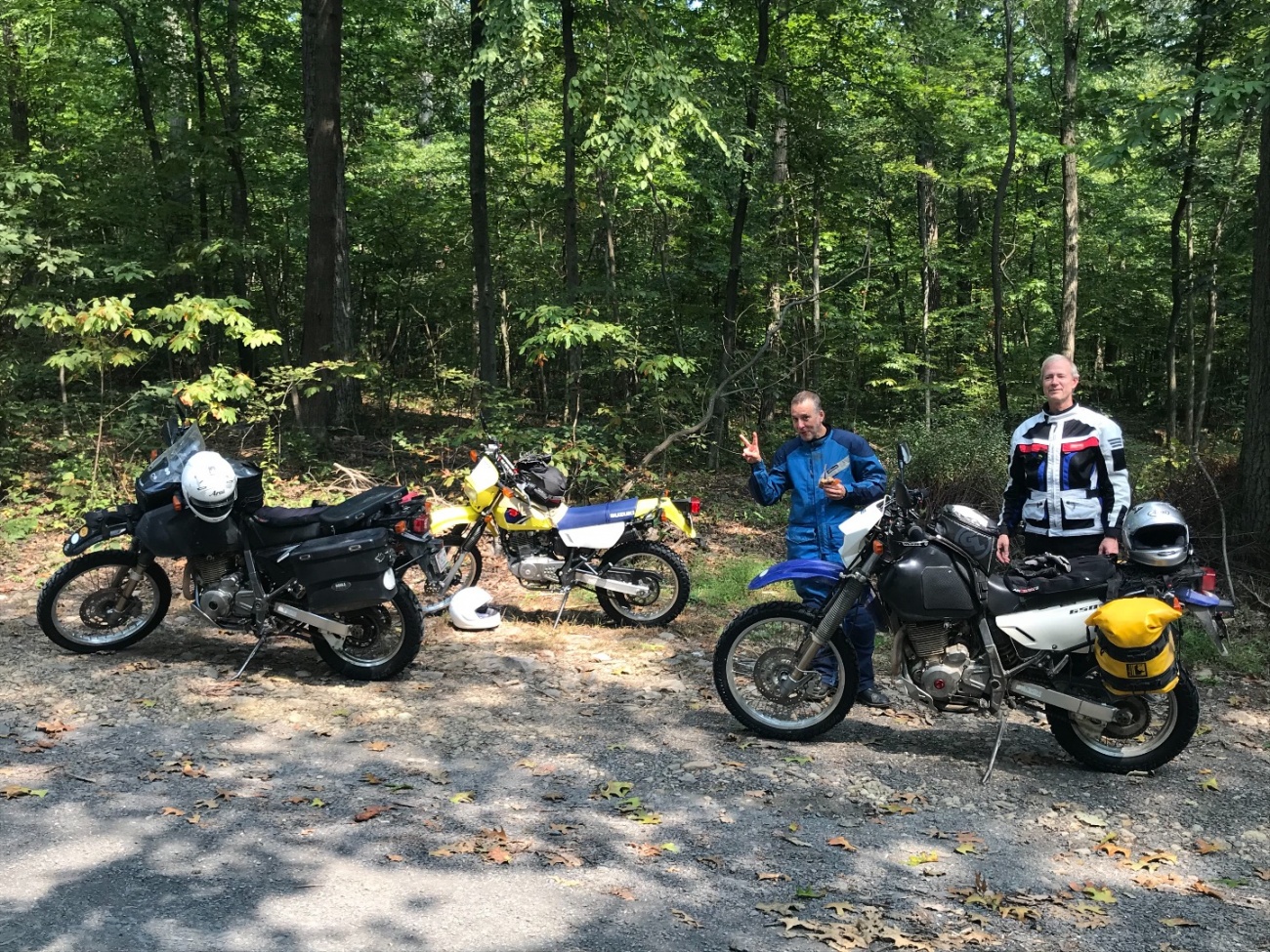
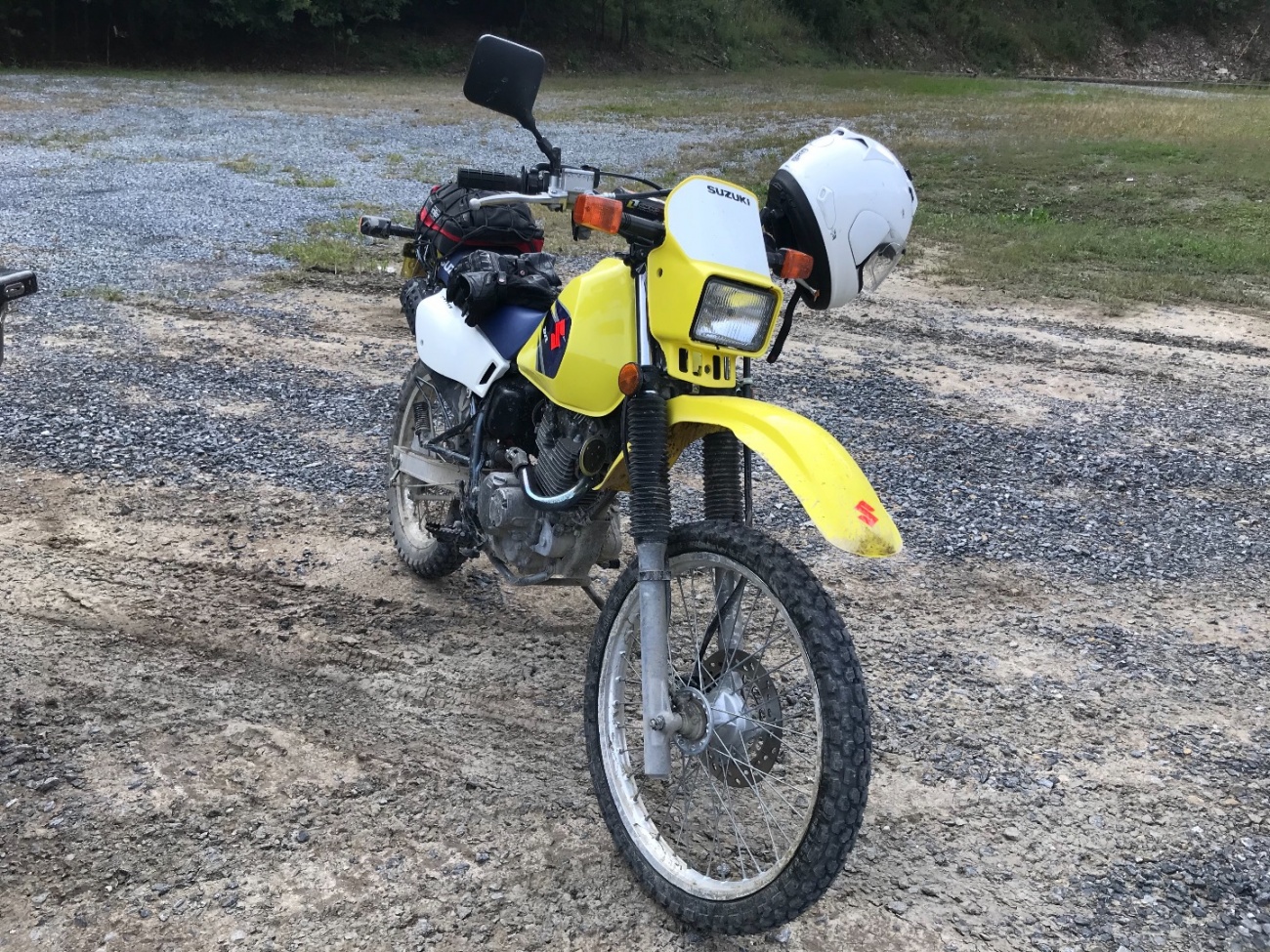
298.8 miles. This is not bad considering there was a DR200 in the mix.
ryan647 and buffalo, we turned around and looked for it. I was convinced we wouldn't find it but after a couple of miles I did actually find the thing lying on top of the muck apparently undamaged. This meant however that we didn't get an accurate mileage count since I didn't trust the mount over this terrain.
Using the trip meter from the gas station and noting mileages when we filled up and once I got home it looks like we did:
298.8 miles. This is not bad considering there was a DR200 in the mix.
Yermo
4 years ago
Bad Object Decode Error - {'type':'member','context':'inline','guid':'137'} - - Syntax error, malformed JSON has pulled the sidestand up and is underway.
Yermo
4 years ago
We'll see how the plan works out. For trips like this I desperately need to finish the app so I can mark which roads go through, which are unpaved, which are good. I've picked a route that more than likely will not go through but once up in the fire service road system there are countless roads all over the place to explore so we can wing it once up ther.
buffalo
4 years ago
Bad Object Decode Error - {'type':'member','context':'inline','guid':'143'} - - Syntax error, malformed JSON is going on Bad Object Decode Error - {'type':'object','context':'inline','guid':'39839'} - - Syntax error, malformed JSON.
Yermo
4 years ago
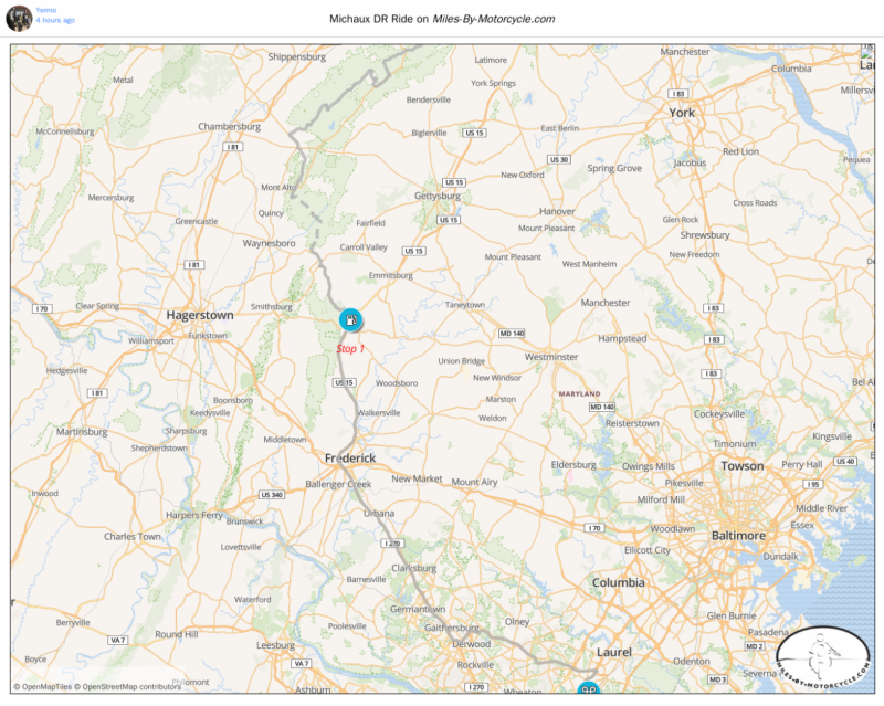
I've posted an initial plan just tracing out a route over what OSM says are unpaved roads. I suspect we'll end up having to guy wing it as many of these roads will either have trees down or be closed, but we'll see.
I'll do some more tomorrow. Tired now.
From Beltsville it's 73 miles to the dirt.
I'll do some more tomorrow. Tired now.
From Beltsville it's 73 miles to the dirt.
Yermo
4 years ago
Bad Object Decode Error - {'type':'member','context':'inline','guid':'137'} - - Syntax error, malformed JSON is going on Bad Object Decode Error - {'type':'object','context':'inline','guid':'39849'} - - Syntax error, malformed JSON.