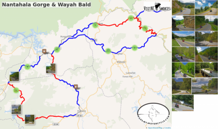
Nantahala Gorge & Wayah Bald
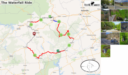
Nantahala Gorge is known for it’s whitewater rafting as much as it’s stunning scenery. Climb to the rivers alpine source then cross Wayah Bald on a ride everyone loves. Complete your loop with a ride on one of North Carolina’s best curvy rides, NC 28 then return to Maggie Valley on the Blue Ridge Parkway. Fun!
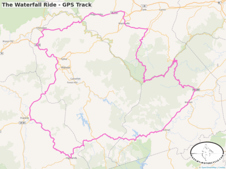
The Waterfall Ride - GPS Track
Click on the GPX Download icon to get a .gpx track of this loop ride.
(Check the convert routes to track box)
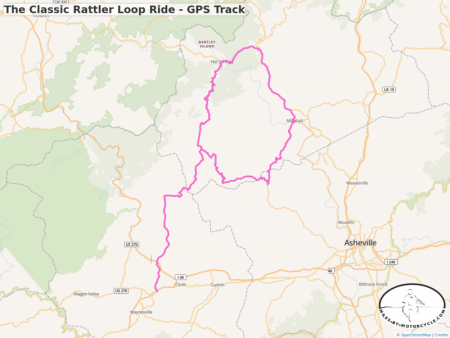
The Classic Rattler Loop Ride - GPS Track
Click on the GPX Download icon to get a .gpx track of this loop ride.
(Check the convert routes to track box)
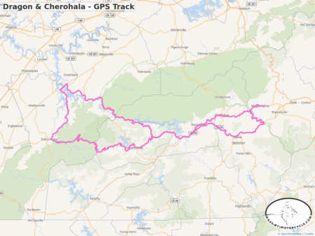
Dragon & Cherohala - GPS Track
Click on the GPX Download icon to get a .gpx track of this loop ride.
(Check the convert routes to track box)
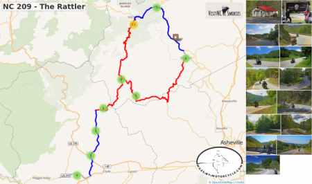
NC 209 - The Rattler
Long popular with locals, NC 209 takes you on a wonderful scenic and challenging ride north to Hot Springs. Extend your ride and make a 100 mile loop by continuing through Hot Springs on US 25, pass through Marshall, then follow Meadows Town Rd to NC 63. NC 63 leads you back to NC 209.
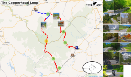
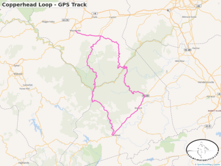
The Copperhead Loop
US 276 and NC 215 are two of the finest motorcycle rides you’ll find. The Copperhead Loop ride links them using US 64 through Brevard. You'll enjoy wonderfully twisty roads, waterfalls, and intersect the Blue Ridge Parkway at two points.
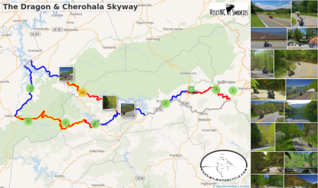
The Dragon & Cherohala Skyway
The Dragon, a.k.a. Tail of the Dragon is one of the most famous motorcycle rides in the world. This ride takes you there from Maggie Valley, then makes a loop into Tennessee to enjoy the fabulous Cherohala Skyway.
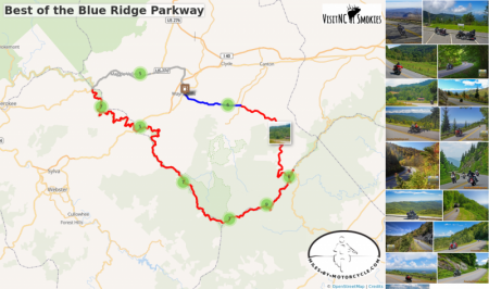
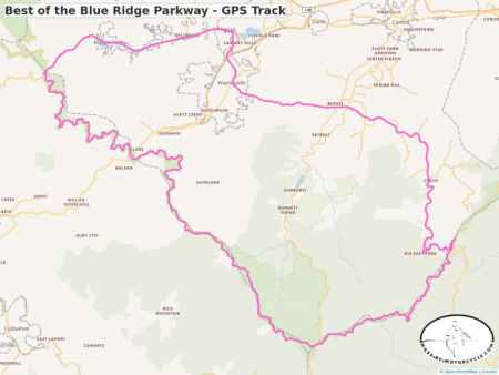
Best of the Blue Ridge Parkway
This 43 mile section is the best of the 491 mile long ride. It's the highest, the most scenic and has more overlooks to enjoy it.
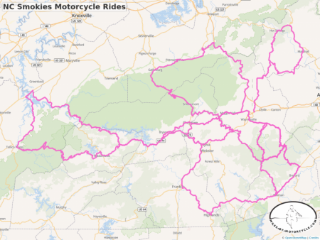
NC Smokies Motorcycle Rides
Click the Maps tab to get maps for your GPS
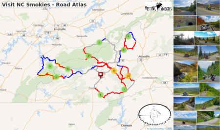
Visit the Ride Plans for details of these rides and to schedule a ride with your friends.
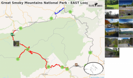
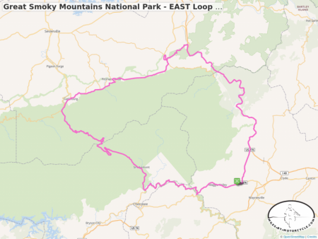
Great Smoky Mountains National Park - EAST Loop - GPS Track
Click on the GPX Download icon to get a .gpx track of this loop ride.
(Check the convert routes to track box)
Best of the Blue Ridge Parkway - GPS Track
Click on the GPX Download icon to get a .gpx track of this loop ride.
(Check the convert routes to track box)
Copperhead Loop - GPS Track
Click on the GPX Download icon to get a .gpx track of this loop ride.
(Check the convert routes to track box)
1110 Soco Road
Maggie Valley, NC 28751
(800) 334-9036
Printed maps of all the great roads surrounding the Smoky Mountains can be purchased at the Haywood Visitor Center in Maggie Valley, North Carolina
America Rides Maps offers the most comprehensive and detailed motorcycle rides maps of the hundreds of great roads throughout the Blue Ridge Mountains from Virginia to Georgia.
Order online http://AmericaRIdesMaps.com
