Riding "Curvature" roads around Prettyboy
'Saturday November 21st, 2020 10:00'
This adventure is over.
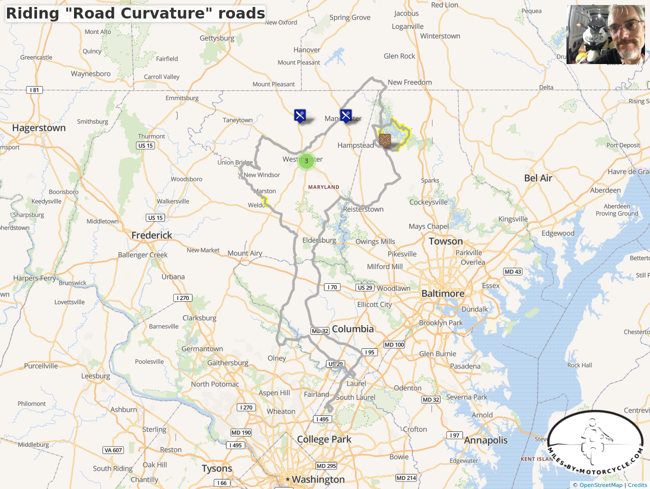
Riding "Road Curvature" roads

Ride starts and ends at Rendezvous 2 near Beltsville Junior High School. There are three sections marked that have unknown pavement. One section is along Sams Creek Road. The other two are near Prettyboy Reservoir. They look paved in arial views (thanks to Google Maps) but I'm not sure. There are easy detours if we want to avoid them.
Comments
 gcraigm5 years ago
I’m thinking this plan is too long. EMMR might have to wait until longer days return in the spring.
 Yermo5 years ago
If you do the entire ride as a single route you can get the total mileage. This is a pretty long ride especially given how cold it will get in the evening.
 ryan6475 years ago
I'm up for getting going anytime. Probably the earlier the better given the how early the sun goes down. I am probably missing something but I don't see which end of the ride is the start and which is the end.
 gcraigm5 years ago
They say that editing starts with a scalpel and ends with a chain saw.... I cut out a big loop up to EMMR and back. I saved the segments in another plan and we'll ride that on a day with longer daylight and higher temps. Instead, I'll stitch together a few more segments from Road Curvature that are closer to home.
 gcraigm5 years ago
The plan is almost complete. It is 170-190 miles long, depending on optional loop around Prettyboy reservoir. Segments are still not connected into a single route, mostly because of the way I built the ride plan (see ride blog for details). But I will turn them into one big route this afternoon.
 Yermo is there an easy way to splice two routes together using the GUI? I see how to split one route into two, but I don't know how to do the opposite. I can just hand edit GPX files if not.
 gcraigm5 years ago
I added some POIs that might have outdoor eating. Time to stop tweaking because it’s making me hungry. ;) Anyway, its getting late and editing while falling asleep is NEVER a good idea.
 America.Rides.Maps5 years ago
The Curvature Site looks interesting. I'm interested to see how it works out in practice. While it identifies curvy roads, you may come to find some are private, some simply exist as ghost roads - maps show them but they are not really there.
 Yermo5 years ago
 America.Rides.Maps, at some point I want to adopt the algorithm to give the roads we tag a similar curvature rating. I think it's a good idea and I like the algorithm he's come up with, but I agree with you. Algorithms are not a good way of finding good roads. I think they should be used as supplemental information to support human curated one.s
Stitching together a few segments found on road Curvature project maps, with a loop around Prettyboy Reservoir.

You must be a member of this group to post comments.
Please see the top of the page to join.