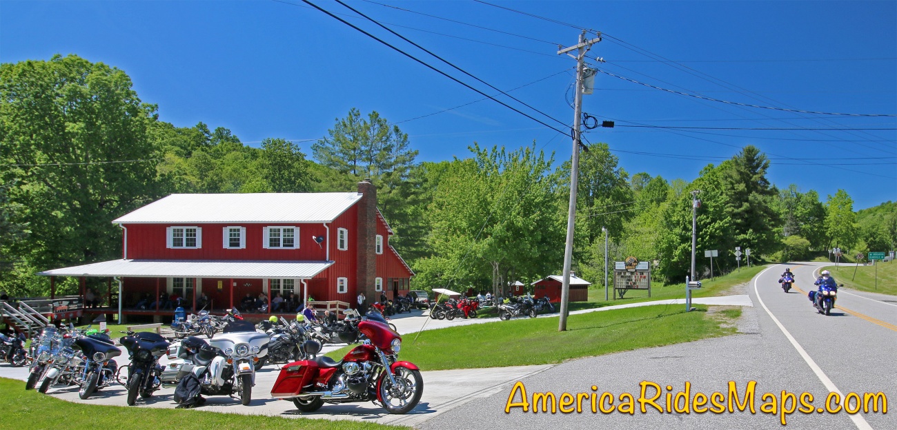
The best way to map this area would be to plan a stay at Two Wheels of Suches Motorcycle Resort. It would add hours of riding to the days by eliminating the commute to the area. Instead we'll be making this ride in a day.
While there are several ways to get from my home in Waynesville, NC to Suches, they all take around 2 hours. That's 4 hours of the day gone just to get there and back. We'll need gas stops, a bite to eat, and there will be break stops for photos. At minimum we should have 3 solid hours of exploring.
There are at least 75 miles worth of unpaved riding I've already identified. Some of those will turn out to be roads closed to travel or private roads. Based on my earlier research there are likely to be 4WD roads or motorcycle specific trails as well.
My plan for this first visit is to hit the long roads and see the general layout of the area. As we go I'll make note of the side roads that connect and any trails or new roads. It's an initial scouting to get the lay of the land and what to expect on return visits.


You must be a member of this group to post comments.
Please see the top of the page to join.