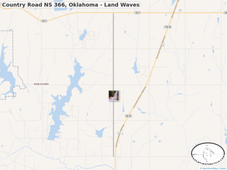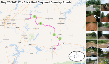
Country Road NS 366, Oklahoma - Land Waves
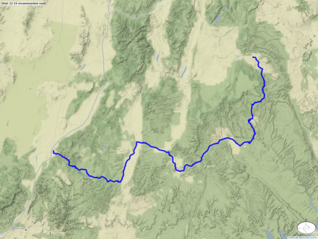
I may be mistaken, but I believe this is the road often pictured on facebook with the crazy wavy landscape. Straight line but vertically "twisty".
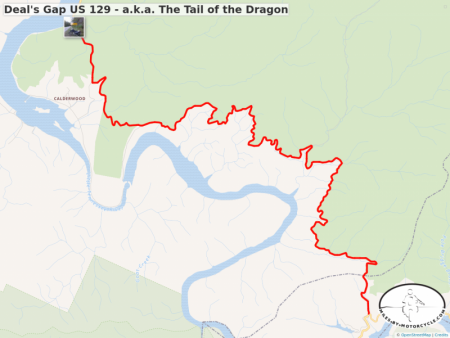
Deal's Gap US 129 - a.k.a. The Tail of the Dragon
One of my all time favorite roads in the country. This is an extremely technical 11 mile long route without cross roads or driveways.
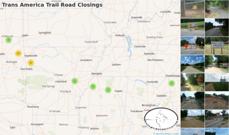
Trans America Trail Road Closings
I've dutifully been taking photos of every closed road sign in the hopes that it'll be helpful for others. As of this writing, I'm in Fort Smith, AR and have traveled here from Andrews, NC. I'll update this map with any additional closings as I make my way West.
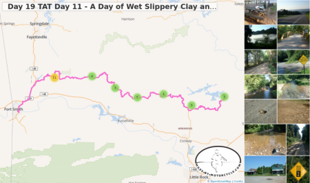
Day 19 TAT Day 11 - A Day of Wet Slippery Clay and Warloop Road, AR.
The day started out very pleasantly but degraded into a wet mess while I was up in the hills. Off camber switchbacks next to steep dropoffs on red clay is very challenging when it's wet. It was very very wet.
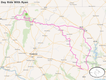
Day Ride With Ryan
Ryan and I took a day ride through the Northern Maryland countryside. It was the first time we had been out with him on his VFR800 in many years.
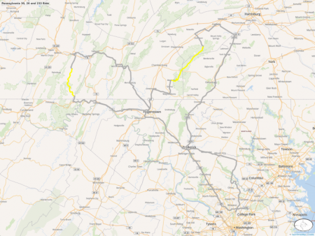
Pennsylvania 30, 26 and 233 Ride
I met up with Steve Metz, whose writing I've been following on Facebook, for a ride through some of his favorite Southern Pennsylvania roads.
394 miles all told. PA 26 was particularly nice as was 233.
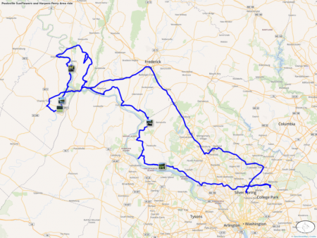
Poolsville SunFlowers and Harpers Ferry Area ride
The intent had been to go see a field of sun flowers that were starting to bloom in Poolesville, Md. It's quite a large field. Afterwards we headed out along random roads where ever the mood took us. We've been riding through these areas for decades and managed to find significantly long narrow twisty little roads we never knew existed.
I was on my '92 K100RS and Duncan on his '09 K1300S.
2017 College Park To Fontana Village Resort/Deal's Gap Run
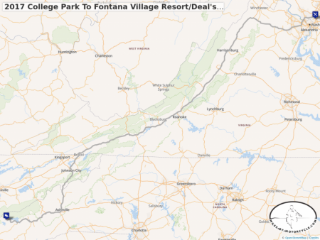
This is the rough route we will be following for our run down to Deal's Gap this year. We leave Saturday Morning the 20th of May from the IHop in College Park, Md. We'll superslab 315 miles down Wytheville, Va where we will stay either in the Days Inn or the Budget Inn. We'll probably have dinner at the Applebees and breakfast at the Wafflehouse, like we do. From there we'll head South. We usually go to Knoxville but this time we'll likely take I26 down which is a wonderful section of superslab. 28 into Fontana is incredibly fun. We'll stay in Fontana for a couple of days and then meander back from an as yet to be decided route.
Frederick Municipal Watershed - Gambrill Park Road
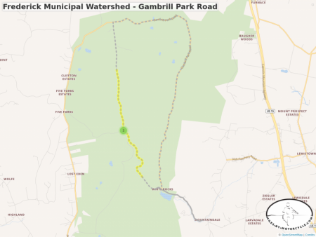
Part of the dirt roads/trails in the Frederick Municipal Watershed
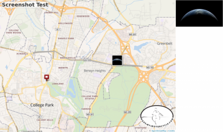
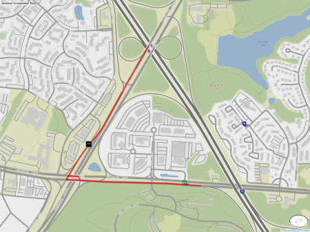
Screenshot Test
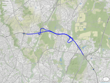
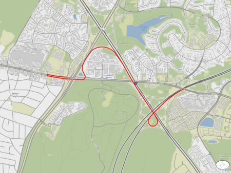
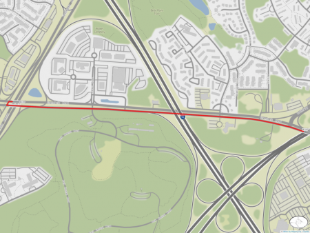
This is just a test to see if the screenshot generator is still working.
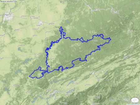
Kentucky Adventure Loop
I came across this mentioned by a friend of a friend on Facebook. I found the GPX file over at advrider.com.
http://advrider.com/index.php?threads/the-kentucky-adve...
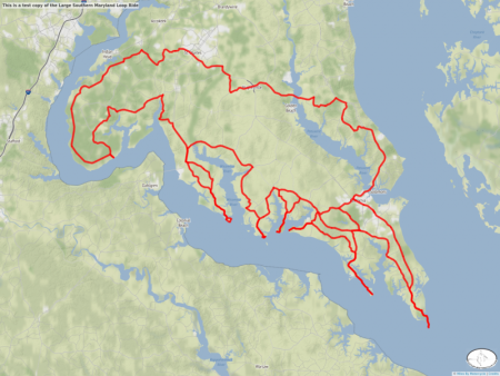
This is a test copy of the Large Southern Maryland Loop Ride
This is just a test trying to track down poor performance with Very Large Maps.
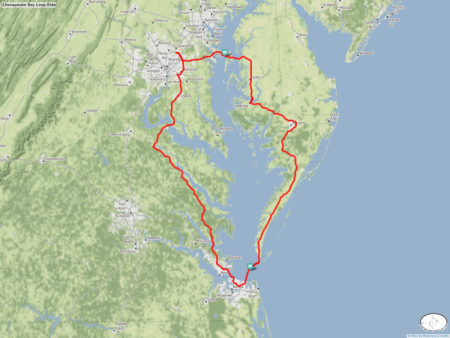
Chesapeake Bay Loop Ride
This is a ride Duncan and I have been talking about doing for years.
