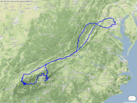
May 2015 Deal's Gap and Other Mountain Roads Trip
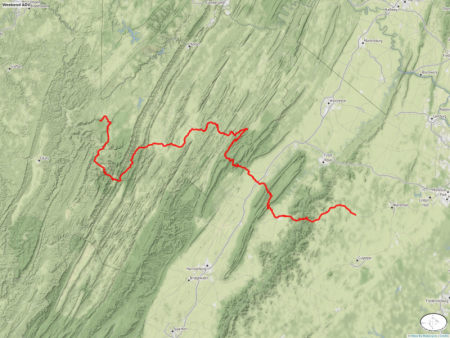
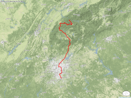
This year we did things a bit differently. On recommendation from Jim Ford, of http://www.ridersworkshop.com/, we left Deal's Gap two days early to meet up with Wayne Busch of http://americaridesmaps.com to explore routes 209, the Rattler, and Revere Road among others. After we parted company with Wayne, using one of his maps he kindly gave to us (Map 5) we explored more curvy roads to end up at Skyline Village Inn (http://skylinevillageinn.com) where we had one of the most impressive overlooks visible from our room. From there we rode the Diamondback, route 226A, and Devils Whip, route 80, and headed to points north on side roads. Unlike what we usually do, we chose to avoid 81 on the way home and instead took 220, went through Winchester and on up to Frederick where Duncan joined us for the last little leg home.
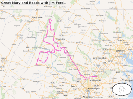
Great Maryland Roads with Jim Ford
I had the pleasure of going for a day long ride with Jim Ford, the guy behind the Riders Workshop.
http://www.ridersworkshop.com/
I have a gift for finding good roads, but I cannot touch the talent that Jim has. This was an incredible ride that ran through areas that I thought I knew well.
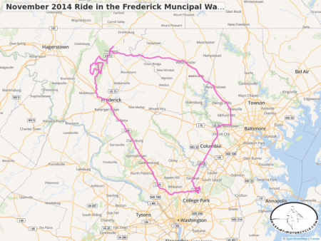
November 2014 Ride in the Frederick Muncipal Watershed
 buffalo and I spent a day riding 15 miles of gravel roads around the Frederick Muncipal Watershed near Frederick Maryland.
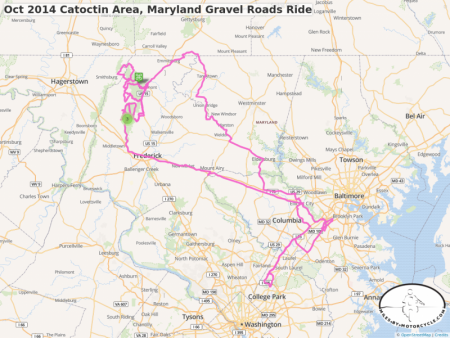
Oct 2014 Catoctin Area, Maryland Gravel Roads Ride
Weekend gravel roads rides up to Catoctin State Park near Thurmont Maryland. Surprisingly, we found many more miles of nice gravel roads than we had expected. Find Mountaindale road which connects to route 15 via Putman Road. It goes through a neighborhood of log cabins and is more like a driveway than a traveling road. At the end it turns to gravel (where the green line starts). There you will find a system of gravel roads with a few hills and one stream crossing (marked). In the fall it proved to be a beautiful area. Be aware of joggers and riders on horseback.
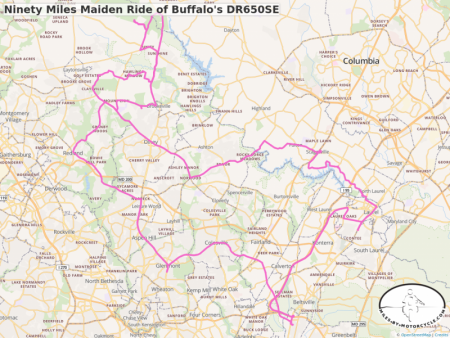
Ninety Miles Maiden Ride of Buffalo's DR650SE
 buffalo and I went out for a 90 mile mostly pavement ride yesterday to break in his new to him Suzuki DR650SE. We only found two small sections of legal "pavement ends".
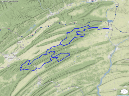
Off Pavement in Pennsylvania
Recommendations by Gary Weaver from the Facebook BMW MOA group.
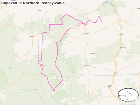
Unpaved in Northern Pennsylvania
Another track courtesy of Gary Weaver.
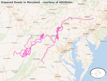
Unpaved Roads in Maryland - courtesy of ADVRider.
In looking for more off pavement opportunities in and around DC, I found these tracks on ADVRider. The best off-road sections are reported to be around GreenRidge National Forest.
http://www.dnr.state.md.us/forests/StateForests/greenri...
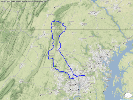
Sep 2014 Sunny and Wet Maryland, Virginia, and Pennsylvania loop day ride.
It was a gorgeous sunny and mild day of riding that was interrupted by a few short showers which were enough to get us pretty wet.  Ben Mendis had said, "I want to practice on more gravel roads." so off towards White's Ferry he,
  buffalo, and I went. White's Ferry, as the name implies, is a ferry that cross the Potomac River. There's a route there that includes several miles of gravel and dirt roads.
We cross the river and headed up to Lovettsville where we had lunch at an Italian restaurant and then went on to points North along Route 17, which is one of our favorites. I had seen a road on the map, Route 233 in Pennsylvania, near Mont Alto, which I had mistaken for an awesome road I had ridden some years ago. So through rain and light wind, we headed up there only to find that it was not the road I had thought it was. However, Coming down the other side of the mountain along Cold Spring Road (a different Cold Spring Road) we were greeted by an incredible rain bow and some wickedly little twisty bouncy roads through hilly wooded country.
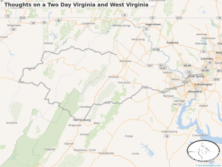
Thoughts on a Two Day Virginia and West Virginia Training Ride
I'm taking  Ben Mendis on a two day ride through Virginia and West Virginia.
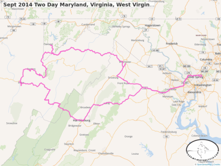
Sept 2014 Two Day Maryland, Virginia, West Virginia mountain twisties loop
 Ben Mendis and I did a two day, roughly 530 mile, loop through the mountains of Virginia, West Virginia, and Maryland.
Of note was Route 72 off 219 in West Virginia which is just this wicked little twisty, albeit rough and treacherous, little just over driveway sized road that carves it's way along a river canyon. "River Road" branches off of it and runs along the water at the base of the gorge which is where we found these just scenically beautiful camping spots right on the water.
Also of note was route 647 in Virginia at exit 27 on I66 which turned out to be a beautiful rolling country road through alternating forests and farms.
As usual, Route 33 in Virginia and West Virginia proved to be awesome and wonderfully twisty as did the northern section of 219 before it meets up with 50. 50 East is a faster road but one that also carves it's way through lush green forests and has some incredible views.
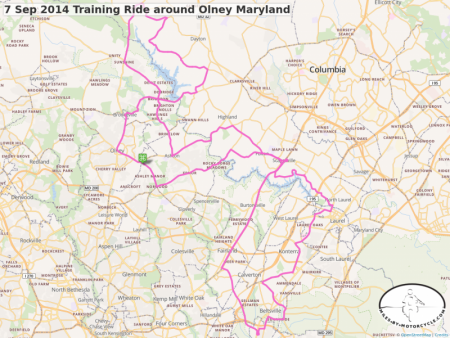
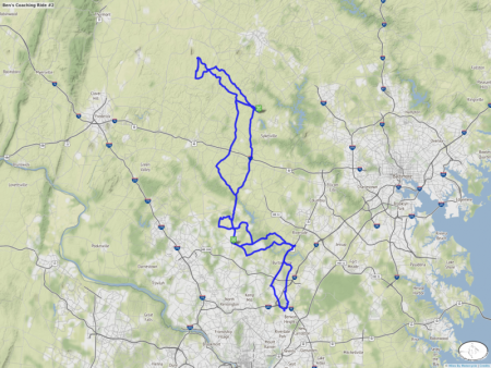
7 Sep 2014 Training Ride around Olney Maryland
 buffalo and I took
  Ben Mendis out for another "training ride" but in effect there was very little difference between this and what a normal short 74 miles ride might look like. We took a classic route that
  Matt found many years ago which we have labeled "the power of left". Matt decided on Brighton Dam road to see how far he could go if he took each non-dead-end left that he encountered. It turns out 22 miles.
And as we often do we decided to eat lunch at the Olney Ale House in Olney.
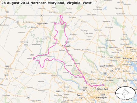
28 August 2014 Northern Maryland, Virginia, West Virginia Loop Ride
It was an intensely cloud covered, dark, yet cool ride through The northern sections of Maryland. Of particular note was route 17 from 340 just around Harpers Ferry to the end of Route 77 West of Thurmont Maryland. This is a beautiful rolling wonderful road that wends it's way along a valley.
Also of note is the Catoctin State Park Central Road that runs North from where it intersects 77. It traverses a sylvan green landscape under a thick forest as if it was something straight out of Tolkien.
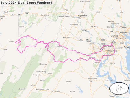
July 2014 Dual Sport Weekend
I failed to post this map. Some many weekends ago I went on a two day "dual sport" ride through West Virginia along some unpaved country roads. On of these, Route 13, proved to be moderately challenging and was not traversable by car as it went through three largish creeks and involved some modestly steep rutted hill climbs and a good amount of deep mud puddles. All in all a very good weekend.
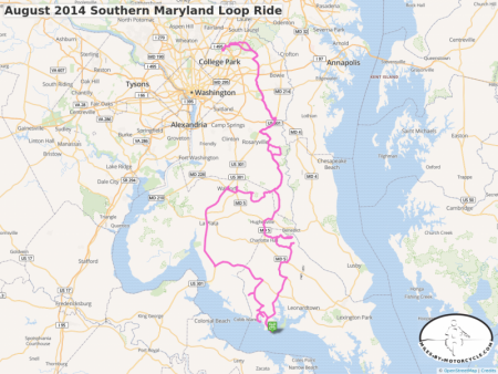
August 2014 Southern Maryland Loop Ride
Ben, Duncan, and I did a 200+ mile meandering loop ride through the counties of Southern Maryland. It was beautiful partially cloudy fall like weather. We rode through tobacco farm country and through some of the oldest parts of the state.
One little section of road stood out which was Nottingham Road off of Croom Road, which Ben and I rode on the way back after Duncan had peeled off. It's a very small wooded beautiful park like road carving it's way through the trees.
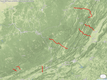
Virginia, West Virginia and Kentucky Roads Recommended by Rshaug
After posting a map of the Blue Ridge on Facebook,  rshaug posted routes for some of his favorite rides in the area. So I decided to put them on a single map.
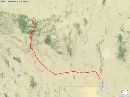
Anthony TX to Spingerville, AZ via AZ route 191
Route 191 was highly recommended and it did not disappoint.
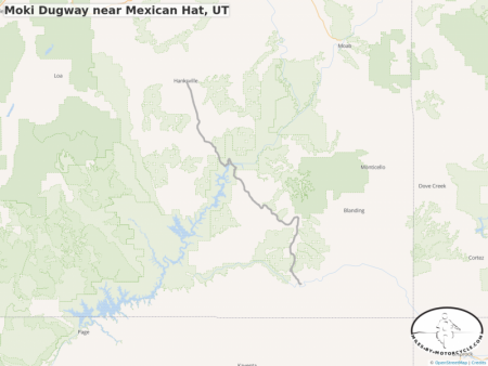
Moki Dugway near Mexican Hat, UT
An expanded route around the Moki Dugway scenic paved/gravel route near Mexican Hat, UT.
Turn left after about 24 miles towards Hite on the Colorado River for a beautiful run through red rocks up towards Hanksville, UT.
