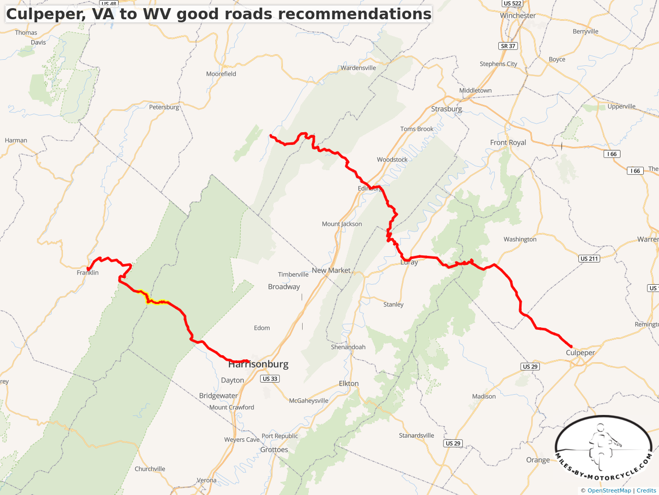
Culpeper, VA to WV good roads recommendations
I put this together in response to a question on Advrider.
 Yermo7 years ago
In response to this thread over at Advrider.com:
Any good tracks running East to West from central VA over into WV? | Adventure Rider
Of course there are a bunch of good backroads tracks following the mountains but we're looking to get to some good stuff in WV from central VA...
http://advrider.com/index.php?threa...
 Yermo7 years ago
Route 33 is fantastic. Route 675 is just a little connector where it goes up into the hill East of 81 but it's, for the area, a twisty little mountain road the kind of which we typically don't have up here. Route 211 over Skyline Drive is a fun much wider twisty road. "High motorcycle crash area". It has some corners that are deceptive with decreasing radius turns but unlike most roads it's quite wide. Two large lanes in the uphill direction.
 Yermo7 years ago
I was looking through my logs. It's been 3 years since I've ridden that section and I no longer remember. I was on my DR650 at the time but if it's unpaved it was a civilized gravel road. I'll have to make my way back out that way.
 Yermo7 years ago
We just rode out that way yesterday. I completely missed the turn onto CR59 to check if it was paved or not. I had never taken 675 that far West before. It's quite a nice road all the way to Wardensville.
 buffalo and I were thinking we need to go back and explore that area on the DR650's as there seem to be quite a few dirt roads out that way.
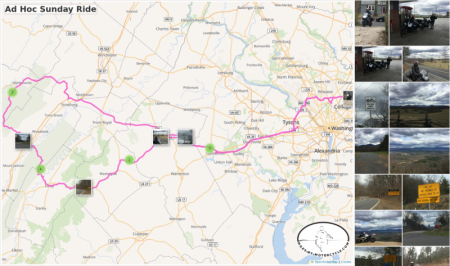
Ad Hoc Sunday Ride
It's been quite a while since we've managed to get out.
 Gwaldini7 years ago
On the Virginia side, as you go up the mountain on 675, the turn is left onto VA 789, the a right on VA 691, which becomes CR59 as you cross the state line into WVA. (CR is an abbreviation for County Road). I'm pretty sure it is not paved. In the mid-90's I rode this from the WV side across the mountain into VA on my BMW R80RT. CR59 was paved to start, then turned to gravel, then to fire road, with plenty of mudholes to skirt. Treacherous on the heavy R80RT. The road eventually became gravel again, all the way to 675. The nomenclature for the 675 changes at the state line and becomes CR23/10 in WVA, all the way to Wardensville. That route from Liberty Furnace Road is a convenient and pleasant cut-through to get from the Shen Vally to US 55 in WVA. At the bottom of the mountain on CR23/10 is a left turn onto CR16 or Thorny Bottom Rd. CR16 goes across the mountain to 259 and Lost River, just north of the intersection of 259 and CR59. I believe this road is paved the entire way, but I'm not sure. There is a settlement/development on the ridge of the mountain, that I've been to 30-yrs ago, driving up from the WV side. The road was paved then, but I missed the road back down the mountain on the east side of the ridge to CR23/10. I would suspect that this is now paved all the way from the ridge to CR23/10, as it is a short cut from the ridge to Wardensville and US 55, rather than go to Baker. It is certainly paved at the bottom, at the intersection. I've been threatening to ride this to find out, as I pass by on CR23/10 on the way to 55, but I have yet to do it.


You must be a member of this group to post comments.
Please see the top of the page to join.