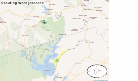
Scouting West Jocassee
Exploring the unpaved roads and a few others on the west side of Lake Jocassee. I need to ride one section of Horse Pasture Road on the east side of the lake, and verify another road does not go through which eats up a lot of time. With the short winter days I'll probably get about 3-4 hours of decent exploring time.
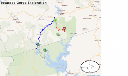
Jocassee Gorge Exploration
Explore the roads on the west side of Lake Jocassee making a complete pass through from north to south.
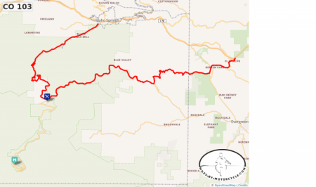
CO 103
Mount Evans Scenic Byway:
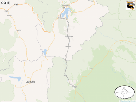
The route begins at Idaho Springs, where it heads southwest away from the center of the city and follows the Chicago Creek. After exiting the city, the route begins climbing in elevation, ultimately reaching an elevation of about 10,000 feet,[2] where it meets State Highway 5, at Echo Lake Park. Together with Highway 5, the route to this point forms the Mount Evans Scenic Byway,[3] the highest paved road in North America. Then the route continues through Squaw Pass, along the upper end of Echo Mountain Ski Area and on to its terminus at County Route 151. Past this point, the highway is not marked by CDOT, but the rest of what is called Squaw Pass Road descends toward Evergreen
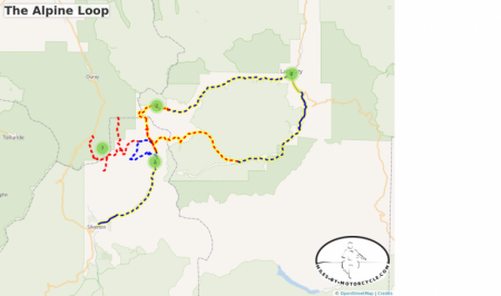
The Alpine Loop
The 65-mile scenic drive travels through a surreal landscape of treeless tundra and mountains seemingly splashed with red and yellow paint near Ouray, Lake City and Silverton.
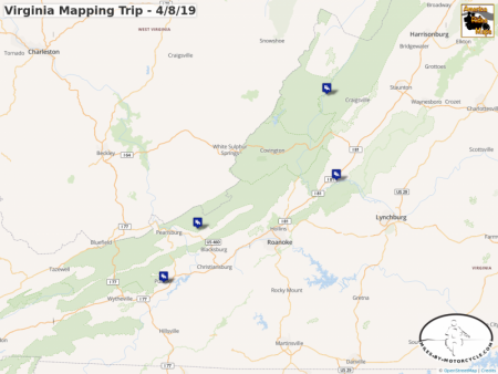
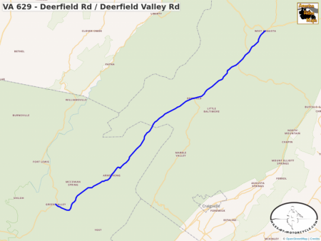
Virginia Mapping Trip - 4/8/19
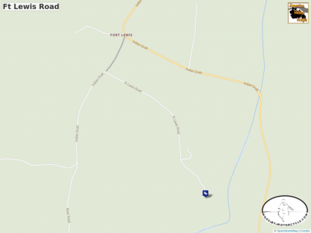
4/8 - Fort Lewis Lodge
4/9 - Historic Natural Bridge Hotel
4/10 - Mountain Lake Lodge
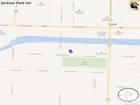
4/11 - Jackson Park Inn
